Lasts 8 weeks: June 6 – July 31
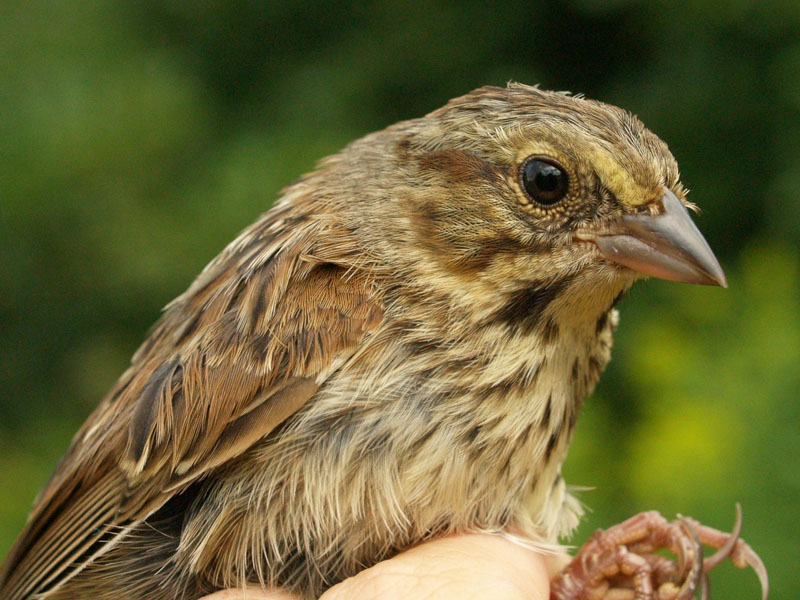
Monitoring of the local breeding birds is carried out at McGill Bird Observatory. For the first four years it was an informal program, but in 2009 the standardized MAPS (Monitoring Avian Productivity and Survivorship) protocol was introduced as the basis for the summer program, supplemented with censuses and additional observations.
MAPS (run by the Institute for Bird Populations) is a continent-wide network of hundreds of constant-effort mist netting stations. Analyses of the resulting banding data provide critical information relating to the ecology, conservation, and management of North American landbird populations, and the factors responsible for changes in their populations. There are now over 1,000 MAPS stations across North America that have contributed data, roughly half of which are currently active annually; therefore the statistics are useful on local, regional and continent-wide levels. The MAPS program has two major management objectives: to determine the cause of population declines, if any, and to devise habitat management actions and conservation strategies to reverse population declines. To learn more about the MAPS program, visit the IBP page.
The MBO MAPS station (MBOM) operates nine mist nets placed around the southern end of Stoneycroft Pond. Banding takes place on a single day during each of seven consecutive ten-day periods between late May and early August. In addition to operating mist nets, observers gather breeding bird evidence on all species heard or seen during each banding day.
Click any thumbnail to see enlarged photographs
